"At least I would die happy"
So said Kate as we discussed the way our heavy packs increased our chances of falling down the steep sides of the trail through Deep Creek. She was carrying all the snacks, including the lollies and chocolate, so, in her words, at least she would die happy if she fell.
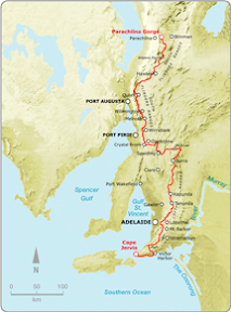
Hiking 4 days along the Heysen Trail on the South Coast
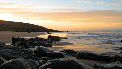
I have hiked almost all this section before except a short 2km section I needed to do as a catch-up. Read the full blog entry on my Training Camp blog.
![]()

No comments:
Post a Comment