With it being the winter solstice, I camped out at a hut on Saturday night, and the following day hiked the End-to-End 3 hike.
Scotts Shelter to Mt Crawford Southern Guidebook, Maps 3.8-3.9
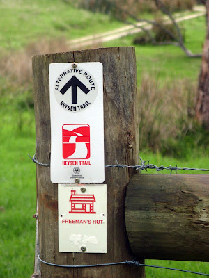
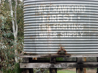
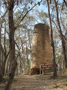
As I have been walking the trail, I have been photographing huts and campsites for inclusion as a layer on the Heysen Trail Google Map. There are numerous alternative routes through the Mt Crawford sections of trail, and many camping and hut options. So it seemed easier just to spend a day driving and walking short distances to each one to take the photos.
Photographing huts
The final hut was Rossiters in Pewsey Vale, near Kaiserstuhl Conseration Park. I walked the short distance to the hut, and spent the night there.
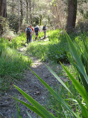
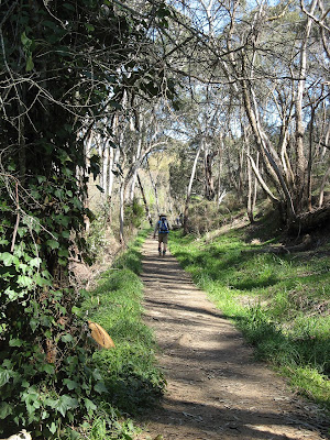
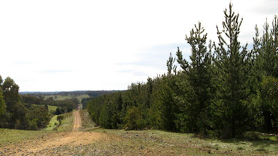
The End-to-End 3 hike was pleasant, along forest trails and tracks. A good balance of ups and downs and spectacular views. The conservation park was a special treat.
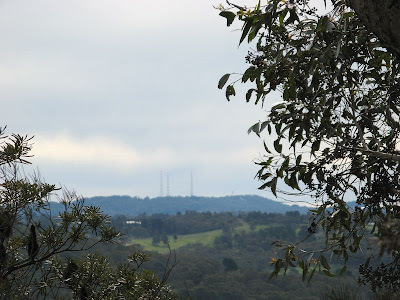
It seems hard to believe there could be so many different breathtaking views in a single day of hiking.
Cudlee Creek to Scotts Shelter Southern Guidebook, Maps 3.7-3.8
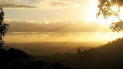
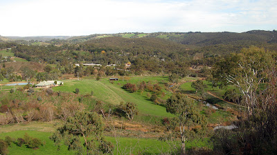
Lots of forest walking today, and endless panoramas. Views are a challenge to capture in a photo, but I snapped a few I thought might look ok.
The view near Cudlee Creek
Today's walk was amazing, however it was interspersed with roads many of us would be familiar with from having driven along them, so it was like seeing something I have seen many times but from an entirely unimagined angle.
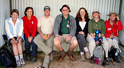
I'm not sure I noticed much of where we walked today, I was busy talking, except to say that we followed windy ridges, and winding tracks through forests.
Montacute Heights to Cudlee Creek Southern Guidebook, Maps 3.5-3.7
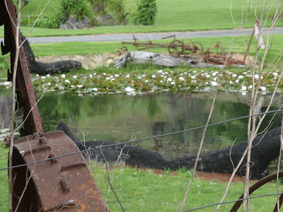
One of the nice country-gardens in the valley near Cudlee Creek
The change to daylight saving is always a good thing - bring on summer! However, when it coincides with a Sunday hike, maybe not such good timing? Getting up very early after being out last night... mmm... that extra hour of sleep would have been nice...
Yesterday it was 30+ degrees, but with a late change today was cool, overcast and very very windy. Ideal for walking along ridges? Mmm, no. But then we soon descended into a valley, and the rest of the day was fairly sheltered, although the wind occasionally blew strong to remind us of it's presence.
It was the last walk of the hiking season, the Fire Danger Season having been brought forward this year.
I took a major shortcut today, avoiding some 13km. Aah, whatever, I just hiked for 5 days, I deserve a shortcut. Plenty of people caught me out, looking rather fresh while they were hot and tired.
Cleland to Montacute Heights Southern Guidebook, Maps 3.4-3.5
I came back yesterday from hiking the Great Ocean Walk in Victoria, 5 days and 93km. I have an almost-healed blister on my heel, and the bit I short-cutted today I have already done, and will do much more with the upcoming 50km Trailblazer Challenge. So I felt justified in meeting everyone at Norton Summmit, when they had started 13km earlier at Cleland, the finishing point of our last End-to-End 3 hike.
Over the course of the following 15km, people noticed my rather fresh presence, directing various levels of angst against me as we approached the end of the 28km hike. End-to-End 3 has only broken the 20km mark a couple of times in its 12-walks history, so there was plenty of people whinging and moaning. It didn't feel that hard to me, lol. Did anyone care that I thought I would be hiking about 8km? Nope, although my heel blister was well protected, and wasn't aggravated by the extra kms.
We had lunch at the Morialta Barns, something I had skipped when doing the Yurrebilla Trail a little while ago. Took some cool photos here, but didn't take any others for the day.
Finished late today, about 5pm. Warm day, was good. Just for the record, I'm sure I would have loved the full 28km distance anyway, long hiking is cool.
Today's fast group was led by teacher Graham. He set a fast pace, awarding negative and positive points as we went, but by what rules were these points being awarded?
Mylor to Cleland Southern Guidebook, Maps 3.2-3.4
Graham led his first walk at an amazing pace. After an hour's hiking we brought to his attention the silence that had descended upon the group. We were all getting tired hiking so fast! Even though Hilary was punished with having to write out lines, she was later awarded positive points! Did I get any? No! We awarded him 2.5 strikes for leading us astray two and a half times... seriously though, he's a natural. He promises to specify the rules & regs in future...
It was a surprisingly good hike, looking at the map it was through residential areas, much of it along roads. But there was little road walking, along most roads there were trails following parallel to the roads, although seemingly far from the road. So we were treated to many special little places.
Some intriging history stuff today, or so I found out after google'ing it later. The photo below shows a tunnel under a main railway. So what, you say? Notice the steel pipe at the top of the photo just beyond the tunnel, and stonework beyond that (top left of photo). That steel pipe - it's cast iron from the 1880's, and with the stone abutment, formed part of a large bridge that crossed Cox Creek, I think it was "filled-in" in the 1920's. Compare to the photo from 1885, see? I presume the method of building up an earth embankment beneath a 4-span bridge that needed strengthening would result in very little disruption and cost compared to building a new bridge and associated earthworks beside an existing bridge. Once the earth embankment was built up to within a metre or so of the bottom of the bridge span, the span could be removed and the rest of the earth built up and the tracks relaid, presumably very quickly.
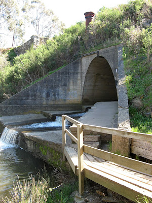
The photo below shows the millrace that fed water from the dam on Cox Creek to the Bridgewater Mill. The millrace is immediately to the right of the path, in the form a concrete culvert (but not clear in photo, I just thought it was a gutter). Of course the millrace had to be on a slight incline, and obviously involved lots of earthworks in it's construction. Apparently (thanks Google), there was a village further upstream, but the mill was built downstream. The Mt Barker road was re-routed in the 1850's through what is now Bridgewater so a town grew there instead. The Mill built a new dam in 1870, but within a year the dam wall collapsed and washed away the village. More info.
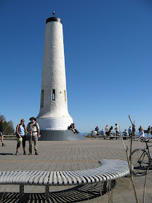
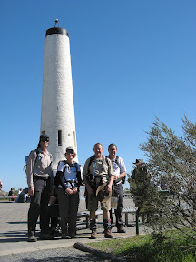
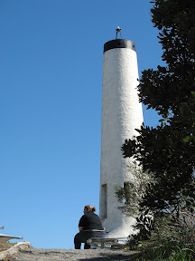
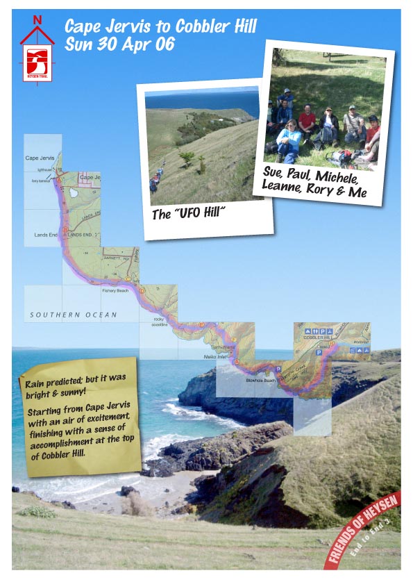
The hike to the summit was tough, ascending some 200 metres in a short distance, but it felt good to reach such a milestone - from Cape Jervis in April last year to the landmark of Mt Lofty now.
I was eager to get a cover shot for the next Trailwalker mag, so I subjected people to various photos which will tee up End-to-End 3 reaching Mt Lofty Summit with the recent Sea to Summit hike.
Michele brought along an old school friend, Ros, and her daughter Jo, who are visiting from Scotland. Ros was particularly concerned about today's hike - it's toughness and length. I'm don't think Michele had been entirely honest with her about the length of the hike, gradually easing her into the idea over the week. As it turned out, the hike was only 16.5km, not the 19km it purported to be. And both really enjoyed the hike, despite the warm weather.
Dashwood Gully Road to Mylor Southern Guidebook, Maps 2.10-3.2
I missed out on the fast group this time, I was about 3 people onto the second bus - bummer! Hilary knew that myself and a couple of others would be suffering for missing out on the first bus, and hence hiking in the fast group. But as the first hiking group of the second bus (there were two buses, 2 hiking groups on each bus) though we overtook the second group of the first bus (are you following this, we went from 3rd position to 4th position) by morning tea. A few of us plotted how to reach and overtake the 1st group - the fast group. We didn't think it likely, but inadvertently we did it! It took us quite by surprise! The fast group had ducked off on a short seven hundred metre spur trail to Rocky Hut for their morning snack. Meanwhile, we snuck past them! We didn't keep the lead, but I did defect from my group to the fast one.
Some interesting discussions about teachers returning to their first day of school term tomorrow - the students teachers were looking forward to seeing again and those they feared - and discussions about the Kokoda Track. I didn't want to join the hike cos it seems like such a tough trek, but Simon had an excellent point, we have that idea primarily because of firstly the soldiers, almost legendary, and secondly because it gets so much publicity from people who hike it but who aren't hikers. They just aren't used to hiking. Sure, it's tropical, that can be difficult for us southern Australians, it's no walk in the park, but the days are relatively short, and being tropical the pack loads relatively light. So now if I could just convince myself to spend to $4,000 I'm there. But then... my car broke down this morning and I already know it needs at least $1,000 spent on it... puts a dent in my savings so maybe no Kokoda Track for me. I'm not trying to convince you - I'm trying to convince myself (do I want to go? Do I not? Spend $4,000 on this adventure of another?)
So today's hike? Mmm. We bid farewell to Kuitpo Forest, and Mt Lofty summit looms closer - near the end of the next month's hike. Jupiter Creek was cool, the Heysen Trail passes through an old mining tunnel, that's pretty cool. You need a torch, a mobile phone doesn't suffice. Trust me, I tried. But I have been through it before, in April this year, and the Jupiter Creek Diggings in general, you can read about it here.
You might wonder why I named this blog entry "Up the Creek"... well, basically when I walked around here back in March, I marked it in my Southern Guidebook on the relevant map. When someone saw it today, my messy hand writing being what it is, they read "Jupiter Creek" as "Up the Creek". Fair enough I s'pose.
Distance: 21km
Hike Time: I have no idea (time's not my thing)
Note added on August 7: if you'd like to read a fellow hiker & blogger's account of a remarkably similar hike... visit Hiking Sticks
Kyeema Conservation Park to Dashwood Gully Road Southern Guidebook, Maps 2.8-2.10
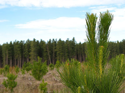
Lots of forest today. Or perhaps more accurately, what was once forest. Now people live in that forest, sleep on it, and put their trail marker signs on it. What I mean is felled forests, the timber long gone and made into building materials and products, all that was left were some stumps, a few areas of fresh plantings, and lots of sandy tracks. Climbing a couple of undulations - yes undulations, not hills - it was so sandy it felt like we would reach the top and see the ocean and smell the salt air. Alas, no ocean to be seen.
We saw forest too, the living variety rather than the cleared. Today we mainly followed tracks through the forests. We did see a hot dog stand. Seriously. Out there in the boonies, amongst the forest trees, on a wide track. Yep. Oh, but to be more accurate, there were many campers around it, and horses, cars, horse floats and so forth. A weekend horse riding event of some sort.
I've graduated to the fast group. I think my friends in the second group are upset. I don't think they will accept me back now. I've never walked in the fastest group in End-to-End 3 before, I don't know why particularly, just that I didn't during 2006, so I didn't think to in 2007. But of course, now I well know, without any knee probs and with improved hiking and general fitness, fast is my style. Just to let you guys on the outer in, with 100ish people on this walk - indeed 120 today - this allows for that 120 to be divided into 4-5 smaller manageable groups. They all set off at different times, so they can stay separate. So obviously, a fast group is sent forth first. Today, we had about 15 in our group, and we set a good pace. But it was an easy walk, 19.5km, with almost no hills whatsoever. Seriously, a couple of mild undulations, but not hills. We were done by 1.45pm.
Mt Compass to Kyeema Conservation Park Southern Guidebook, Maps 2.6-2.8
Simon has a habit of singing as he walks. I guess you can't deny him that right. Doesn't mean you should either enjoy it or endure it - especially when his chosen theme for the day is country songs. American, but still, country and western... urgh. Thankfully he didn't seem to know many, and those he did he knew very little of, and he didn't seem to be getting much encouragement.
Well worth walking up along the short - but steep - spur trail to the peak of Mt Magnificent. Simon played his bagpipes at the peak, roll your eyes, actually, no, unroll your eyes, I don't mind his bagpipes. An adrenalin rush coming back down, I ran, yes, you read correct, I ran down, proving how much better my knees are this hiking season.
After discussions with another (who will not be incriminated here) about the activities that took place at the dubious looking Kuitpo Community - it had all the appearance of a cult hide-out. Think guns and terrorists, or at least churches and silly games. It was none of the above, I googled it, it's a drug and alcohol rehab facility with a fairly long history. Now that's cool. Glad I waved at that guy and he was too far away to see my questionably expression.
We escaped the bulls atop the hill near Blackfellows Road and walked onto the end of the walk. Here, just before the end, we set ourselves up in two lines, and led by Simon's bagpipe efforts we marched in to the other waiting hikers. Simon really got a showing this walk, heh? Finished off with some birthday cake for Jerry's 50th. Nice one.
Myponga to Mt Compass Southern Guidebook, Maps 2.4-2.6
A long walk for the first walk of the season - 21.8km. After 3 days of rain, a day with lots of brief showers, but no wind and about 20C. Tiring stuff.
I was too tired when the alarm went off... I hadn't slept on the plane the previous night... I wanted to go hiking to catch up with people and see some of Australian countryside, but alas, I missed it (but my 3 weeks in Thailand was very good). Will have to do it as a catch up next year...
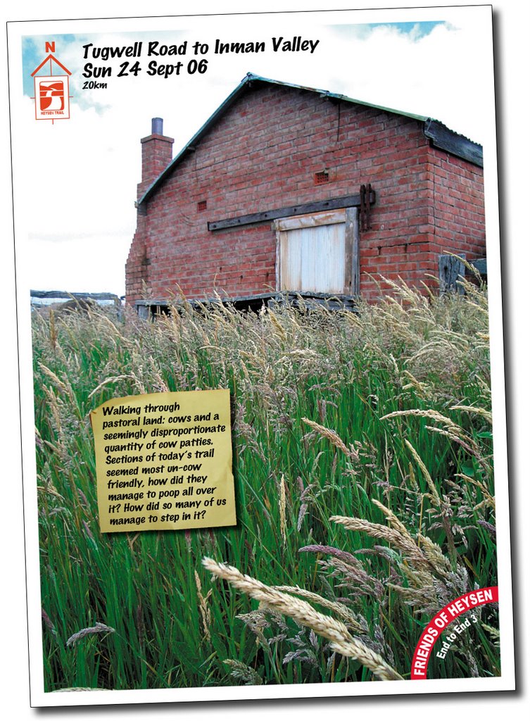
I'm not sure how the cows manouvered themselves along these tight sections of the trail. But evidently they did, and they were there for a while, manourvering themselves, and leaving us large, squishy, sloppy presents. We must have been glad of the gift, you can tell, cos so many of us managed to step in one. Or was it that you spent so much time avoiding stepping in one, that you eventually gave up and ended up stepping in many?
Today's 20km walk was through pastoral land, cows obviously, but most of the trail followed old tracks. This was all unknown territory to me, never having been through Inman Valley. It was all so green, it was hard to believe we hadn't had much rainfall. The corridor the tracks passed through were pleasant, lush really, although strangely overpopulated with cow patties. The vallies were spectacular to look across, the green, the areas of vegetation and pine plantation forest.
The wind had been so fierce the night before, at 4am it was difficult to imagine that it would calm down enough to make today's walk comfortable. The weather forecast was for a clearing day with light showers, I know, I checked it at 5am in the morning. The wind so so gustful that it kept waking me, so I checked the BOM's forecast on my phone. By morning it had settled a little, and increasingly so as the morning wore on. By the time we reached Inman Valley to meet the buses, it was even sunny! However the weather varied throughout the day, with short bursts of light rain, or horizontal heavy rain, warm sun and cold wind.
I don't have much else to write, my mind is too occupied with my holiday to Thailand in just 4 sleeps time? I think so...
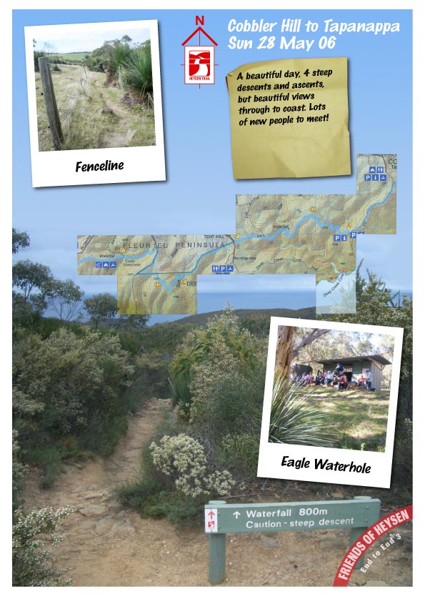
Complacency. Or apathy. How very Australian of us. Rain. I hadn't even checked the weather forecast. Someone, who I shouldn't name, hadn't even brought wet weather gear. At least I had brought it, but only because I just always did. I never expected to use it. Even when it started to rain, it was just a light drizzle. Oh, it will just cool me down a bit. If I stop to put on my rain jacket it will mean I'm accepting that it's raining. I would rather continue to deny that it was raining. But I finally succumbed, everyone else was wearing theirs, and I was getting rather wet.
The day started off sunny enough. Rudy warned me of rain in the car. Ah whatever. It never rains for us. From about 11am onwards it rained on and off, just a drizzle, sometimes more. We ate lunch in the rain. It wasn't cold, just a little wet. And it wasn't wet, well, not really, just it was wet compared to all our other walks!
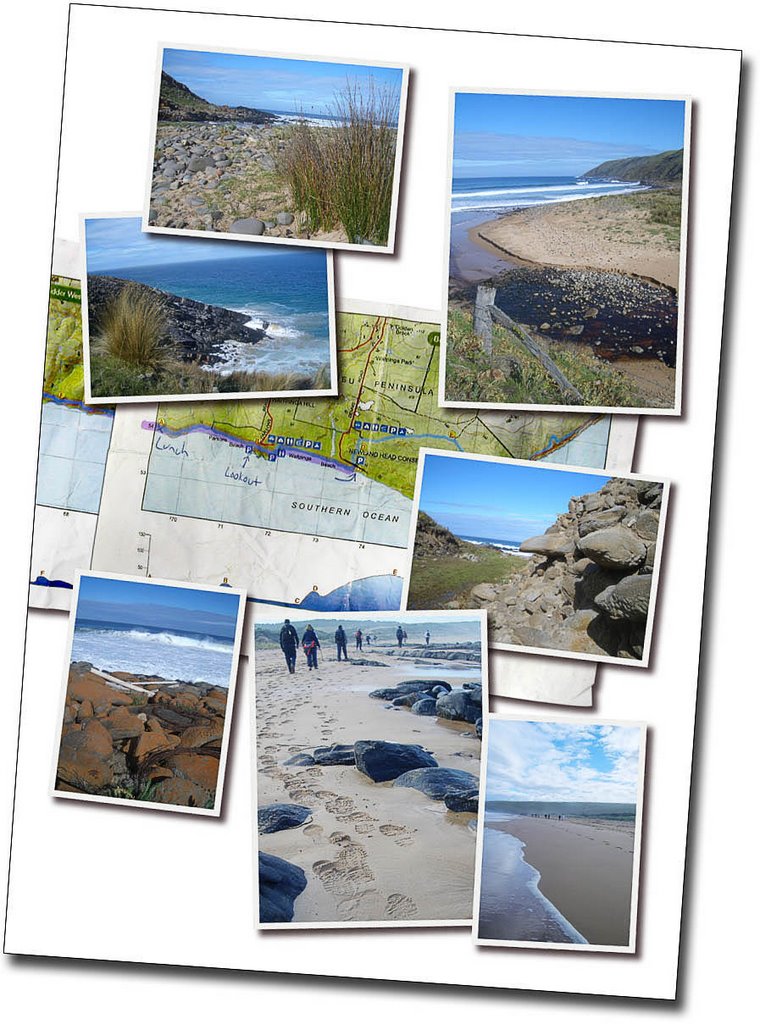
Walking along the clifftops, yep, the clifftops I never even knew existed, was spectacular. They just seemed endless, and around every bend they just seemed to get more spectacular. I took few photos at the start, indulging in some conversation with Sue and Michele and Rudy. I hadn't walked with any of them since the first End to End walk. There was much catching up to do! Later, I got distracted, fell behind and walked by myself for a while. There was no one in front of me, and no one behind. I took many photos, but I had missed taking any good photos of the fauna - I hate that word - and the flora. Today was a day filled with strange smells and wild flowers. I took the odd photo of them. I saw others taking better photos. Well, perhaps.
At the point at which the trail departed from the coast and headed inland, I took a few photos, of which one I used for my featured photo below. We spent much of the day walking towards The Bluff and West Island. Anyway, just past this crucial point of no return for the trail, I realised I had probably misread the map. The trail returned to the coast. Oh well, my photo was symbolic, not factual. We ate lunch on the beach. I didn't even know there was a beach there. With some sharper observation skills I could have established that though. It was called King Beach. It was a beautiful beach though, lots of rocks. And rain. Lunch was a much needed break for my very sore left knee, yep, the left one. Not the right one that I had been concerned about all week. That was fine. But my left one was bad. So a little rest, whilst gulping down my lunch in the rain, was very welcome.
Our group was quite well spread out. I hurriedly finished my lunch as the group prepared to walk on. Then the end of our group, those people so far behind me it felt like there was no-one behind me at all, caught up with us. Oops. So the group split, perhaps a little unwisely. The group leaders, and indeed the group, was in a bit of disarray. It was the rain. Blame the rain. As we turned that crucial corner that led the trail at right angles from the coast inland, for the second time, an ambulance waited by the side of the road. "For you?", enquired Sue. Mmm. Should have taken a photo. That was funny. My knee certainly wasn't. Stupid scooter accident has set my progress back more than six weeks.
We wondered why so many people had been standing in the rain in a paddock by a house. Was anyone as stupid as us? Horse riders and the people that follow that... horsies? Yep, they were as keen as us not to let the rain deter them! Later, we saw them jump a hurdle. Well, we could have, if we'd bothered to wait another ten minutes. They took forever to get themselves organised. So we gave up and walked on, they passed us some time later, and we got to see them jump another hurdle instead.
Michele, let it be known, distracted me on our walk along Jagger Road. We passed the trail turn-off, by about 300m. Oops. We backtracked. They all seemed to blame me. What, was I meant to be leading them? Just cos I had a map? That's why I blame Michele. Well, that's not really fair, but I did get some good advice about flying with cheap airlines: turn up on time, or better still, early. Cos they are cheap, they prob overbook. And yes, they really do.
The drive home, and indeed going down there too, was good. Enjoyed the company of Rudy, Margaret, who I met last time on the beach and featured in my beach photo of us wearing no shoes, and her friend Sunny. Sunny, from Taiwan originally, had walked with another bushwalking club, that one I have heard a few negative things about, but found them quick paced, competitive perhaps. I think she really enjoyed walking with us today, at our relaxed walk-at-your-own-pace.
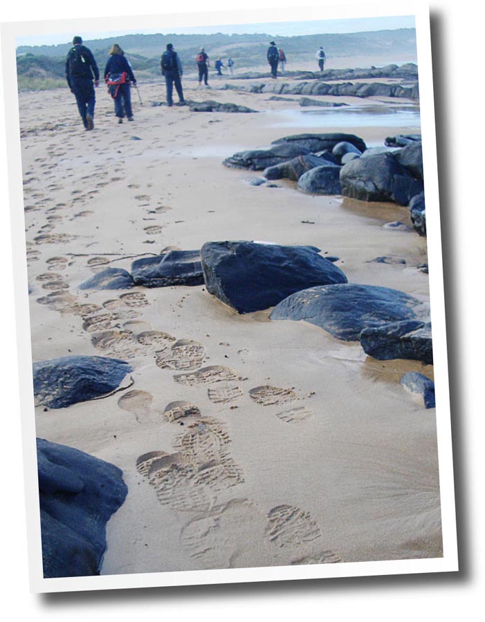
Sand. Crashing waves. Sea mist. Salt. Yes, it was the beach. But it didn't feel like it. Something was wrong. Was it the hiking boots and backpack, amongst other hiking gear I was wearing? The cool wind? It felt odd. Nope, the shoes definately had to come off. It was the last stretch to the cars, I could clean my feet off under a tap when I got there. I had only walked about 20 metres onto the beach. Further down, Karen and Marguereta caught up with me, and with little encouragement they had their socks and shoes off too! Definately nice to get the shoes off and feel the sand beneath your toes!
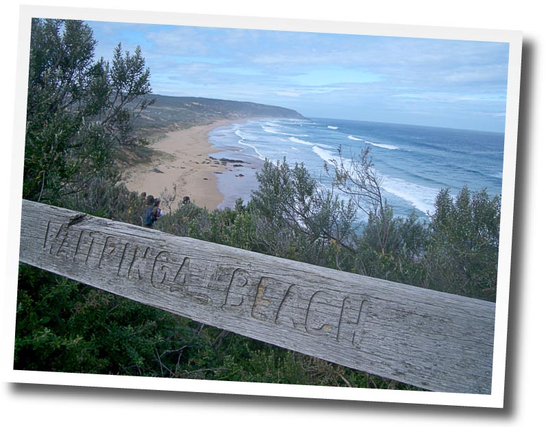
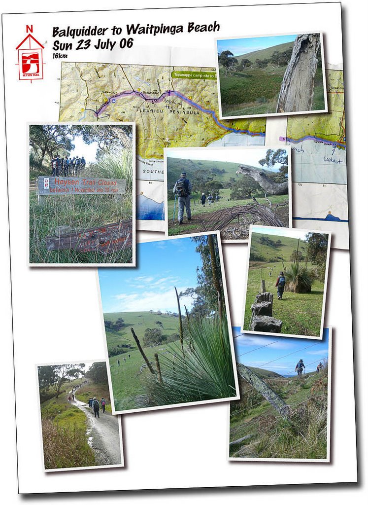
Today's walk was a good one, albeit short. Oh, maybe not short, but quick. 16km, walking down from Balquidder following a dirt track, turning off into grazing land and heading down to the beach along a scenic creek. Following the cliffs, we had lunch on our first beach, with the sun on our backs! The weather was good, no, very good. Rain was forecast, and I awoke very early to the sound of the rain. But it wasn't going to put me off, I decided, as I drifted back to sleep. When we arrived in Waitpinga, the wind was cold, and the sky densely overcast. But those clouds retreated to reveal a beautifully warm sun! Only on the drive home did it rain again. After lunch we walked over another headland to Parsons Beach, and walked along the beach for a couple of kms before rising up to the lookout and carpark, then down again back onto Waitpinga Beach for the walk back to the cars. The cold wind was gone.
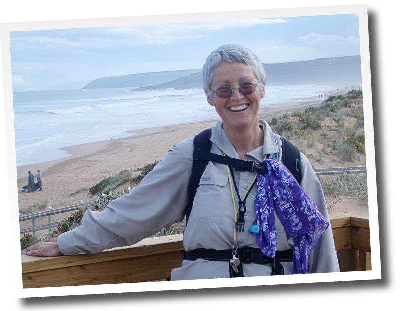
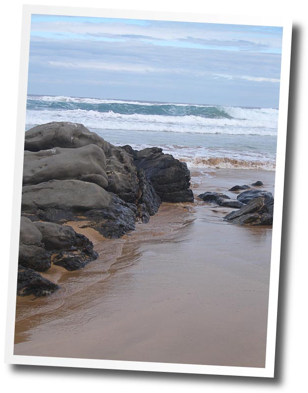
Lyn reminded me that it was Jeff's birthday the day before, but I never saw him, I only saw my group, being the first group, and some of the second group - both being a coachload each. <blog edited>.As Herta climbed the steps of the new boardwalk up to the carpark, those of us waiting cheered as she finished her last section of the trail. Moments later, Michelle came up. "Herta's just finished the trail," I said, "well that's a pity, because it's over there," pointing to the older boardwalk some 20 metres walk further on. A magnificent moment enjoyed by all when we held up our trekking poles, well, except me of course, because I had forgotton mine, to form an arch for her to walk through.On Waitpinga Beach stopped to take a photo of the crashing waves by some rocks. Snuck past really. This <blog edited>at Parsons Beach!A fun time back at the carpark, <blog edited>Now I've just got to write that bit I always do, as suggested by my Physio, to note the performance and condition of my knees. Like last walk, they were fantastic. As I said, I had forgotton my trekking poles, realising this when I arrived at the Waitpinga carpark and saw other people with their poles, but I knew it was going to be a fairly easy walk. They are mildly bruised. That's it. Not quite good enough to cycle to work today (Monday), but even still, there has been much improvement! I'm so surprised after the Melbourne experience, just 3 weeks ago.
Mmm. I just realised, when uploading all the finished photos and artwork, that I spelt Balquhidder wrong everywhere... with the one exception of just then...
So well before my alarm went off at 5.50am Sunday morning I had decided not to go. Yes, it's true, perhaps I shouldn't have drank what I did the night before, but those effects were long gone. I was sick. Last night having a shower before going out, I felt the first signs of my body fighting an infection. Mmm. Yay. Not. But it would be the first time I have been sick this year, and for quite some months before that too. So when I woke, or kept waking, hot, cold, too hot etc, muscles aching and my throat sore, I dreamt I was walking and it was all good. But then I would awake, cold, sore. Recalling that I am actually doing these Heysen walks for fun, I decided not to go. I could imagine walking today when I was really sore and had a thumping headache. I didn't want to take that risk. So I slept another 5 hours. With the help of that 5am nurofen, my headache was largely gone, and I felt quite good, the muscle soreness and throat had subsided somewhat. So then I regretted not going! But now, here, writing this at 1pm on Sunday arvo, I am feeling quite sore and tired just doing this. True, I'm not that sick at all, and the alcohol wouldn't have helped, or the 5am, always a hard time to try to work out if you feel alright to walk that day.
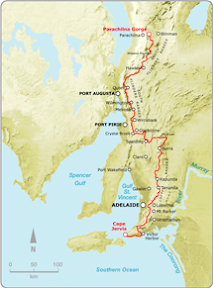
After a hike up St Mary's Peak in Wilpena Pound (Flinders Ranges, South Australia) in June 2005, I was inspired to join a hiking club. In April 2006, I joined the Friends of the Heysen Trail, and took up the challenge of walking the 1200km Heysen Trail (South Australia), from Cape Jervis, on the rugged south coast of the Fleurieu Peninsula, to Parachilna Gorge, in the Flinders Ranges.
"The Heysen Trail passes through some of South Australia's most diverse and breathtaking landscapes, traversing coastal areas, native bushland, rugged gorges, pine forests and vineyards, as well as rich farmland and historic towns."
I completed the Heysen Trail in August, 2008.
If you visit, please leave a comment on one of the blog entries, or email me a private message: jez@jeremyc.com. Thanks.
Blog entry links listed below in geographical order, rather than chronological order (blog entries on this site in chronological order). However, I did start at the beginning of the trail at Cape Jervis, and finished the trail at the end of the trail, at Parachilna Gorge, in August 2008. The maps below refer to the official guidebooks, 'S' referring to the Southern Guidebook, and 'N' referring to the Northern Guidebook.
A note about the GPS maps appearing on this blog. Prior to September, 2007, all Google Maps are mash-ups, drawn on-screen. Initially, I favoured the satellite image as the determining where to draw the trail, but later I started to rely on the map view to determine where to mark the track - this being more accurate when satellite images would later be updated (the map and satelite often don't closely match up). As of September, 2007, all maps are generated from a GPS unit, so can be considered accurate (particularly when looking at the map view). Of course that doesn't stop me from wandering off the trail...
Intro
I'm walking the trail with The Friends of Heysen Trail. I walk two weekends a month, which is 3 days, for the 8 or so months of the year when the trail is open, for 2006, 2007 and 2008.
The Hiking Club The Friends of Heysen Trail is a club whose primary focus is on maintaining the 1200km Heysen Trail, which stretches from Cape Jervis in the south of South Australia, to Parachilna in the Flinders Ranges. The club does organised hikes, including the End to End hikes. They have hikes almost every weekend, often having several hikes each weekend, some easy, others harder. Anyone can go along, the cost is $7 per walk (cheaper by pre-paying), but after having walked two walks you are expected to join the club, which is about $20 per year. The walk programme is available on the club's website, and also the guidelines as to what to wear and what to bring.
How the Walks Work
We usually meet somewhere near where the walk will end, sometimes in the city first to car-pool to that meeting location, then for $10 each we get taken by a bus to the start of the day's walk. From here, we break into smaller groups if need be, and walk back to the cars. The End to End walks involve about 6 hours and between 15kms and 25kms of walking. It's very well organised, and easy to join in (I joined without knowing anyone). There are always new people to meet, and everyone is always very friendly.
Two Groups
I'm walking with two smaller groups within the hiking club: End to End 3 (the 3rd group to start walking from one end to the other) started from the trail start, at Cape Jervis, in April 2006. This group has about 100 people in it across a broad range of ages. These walks are on one Sunday per month. End to End 2, the second group, was just south of Burra when I joined them, it only has about 20-25 people in it, many of whom are older, but they are still cool! We walk one weekend per month, meeting Saturday for a walk, staying overnight in a local town, then walking again on the Sunday, being too far from Adelaide to travel that far each day. I like this because you spend more time with people and we all share a meal together at a pub or restaurant on the Saturday night. Both groups are walking northwards.




 Complacency. Or apathy. How very Australian of us. Rain. I hadn't even checked the weather forecast. Someone, who I shouldn't name, hadn't even brought wet weather gear. At least I had brought it, but only because I just always did. I never expected to use it. Even when it started to rain, it was just a light drizzle. Oh, it will just cool me down a bit. If I stop to put on my rain jacket it will mean I'm accepting that it's raining. I would rather continue to deny that it was raining. But I finally succumbed, everyone else was wearing theirs, and I was getting rather wet.
 Walking along the clifftops, yep, the clifftops I never even knew existed, was spectacular. They just seemed endless, and around every bend they just seemed to get more spectacular. I took few photos at the start, indulging in some conversation with Sue and Michele and Rudy. I hadn't walked with any of them since the first End to End walk. There was much catching up to do! Later, I got distracted, fell behind and walked by myself for a while. There was no one in front of me, and no one behind. I took many photos, but I had missed taking any good photos of the fauna - I hate that word - and the flora. Today was a day filled with strange smells and wild flowers. I took the odd photo of them. I saw others taking better photos. Well, perhaps.
 At the point at which the trail departed from the coast and headed inland, I took a few photos, of which one I used for my featured photo below. We spent much of the day walking towards The Bluff and West Island. Anyway, just past this crucial point of no return for the trail, I realised I had probably misread the map. The trail returned to the coast. Oh well, my photo was symbolic, not factual. We ate lunch on the beach. I didn't even know there was a beach there. With some sharper observation skills I could have established that though. It was called King Beach. It was a beautiful beach though, lots of rocks. And rain. Lunch was a much needed break for my very sore left knee, yep, the left one. Not the right one that I had been concerned about all week. That was fine. But my left one was bad. So a little rest, whilst gulping down my lunch in the rain, was very welcome.
 The drive home, and indeed going down there too, was good. Enjoyed the company of Rudy, Margaret, who I met last time on the beach and featured in my beach photo of us wearing no shoes, and her friend Sunny. Sunny, from Taiwan originally, had walked with another bushwalking club, that one I have heard a few negative things about, but found them quick paced, competitive perhaps. I think she really enjoyed walking with us today, at our relaxed walk-at-your-own-pace.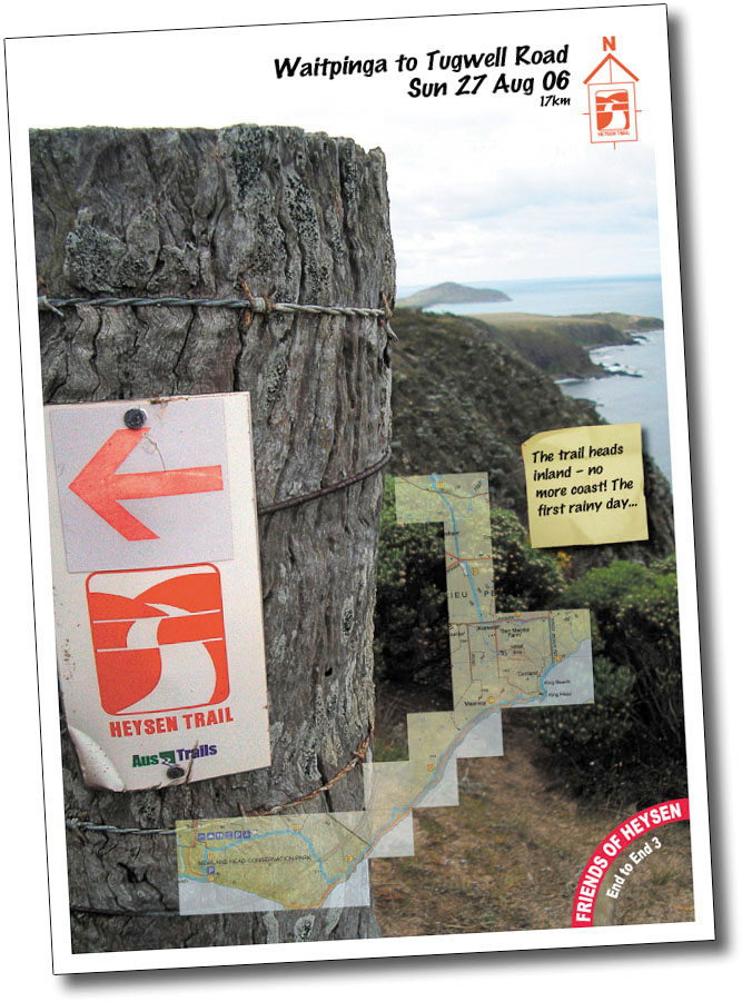

 As Herta climbed the steps of the new boardwalk up to the carpark, those of us waiting cheered as she finished her last section of the trail. Moments later, Michelle came up. "Herta's just finished the trail,"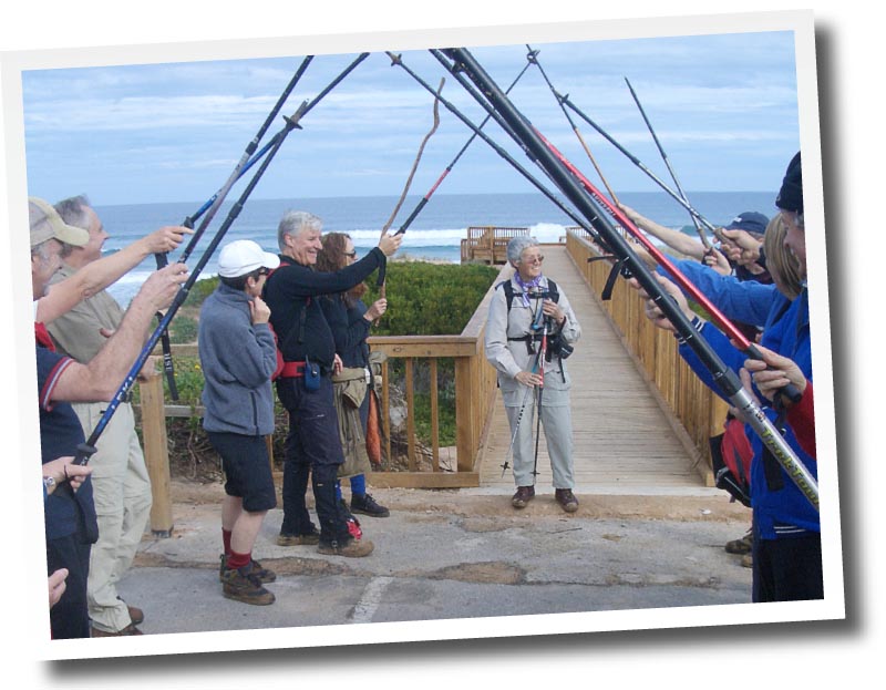



 of
of  Completed