Solstice
Scotts Shelter to Mt Crawford
Southern Guidebook, Maps 3.8-3.9
As I have been walking the trail, I have been photographing huts and campsites for inclusion as a layer on the Heysen Trail Google Map. There are numerous alternative routes through the Mt Crawford sections of trail, and many camping and hut options. So it seemed easier just to spend a day driving and walking short distances to each one to take the photos.
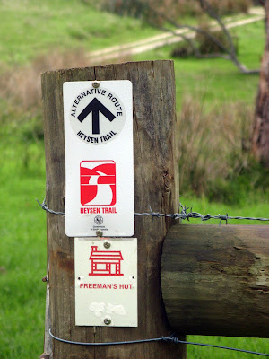
Photographing huts
The final hut was Rossiters in Pewsey Vale, near Kaiserstuhl Conseration Park. I walked the short distance to the hut, and spent the night there.
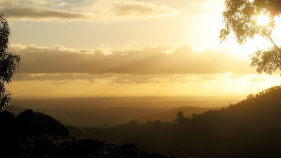
Watching the sun set on the shortest day
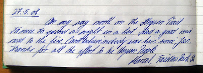
Marcel's earlier log entry
The End-to-End 3 hike was pleasant, along forest trails and tracks. A good balance of ups and downs and spectacular views. The conservation park was a special treat.
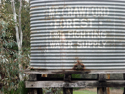
A hike through Mt Crawford forest
View photos as full screen slideshow
Stats:
- Distance: 20.6km
- Start time: 9.32am
- End time: 2.39pm
- Moving duration: 3h 59m
- Stationary duration: 1h 06m
- Moving average: 5.2km/h
- Overall average: 4.0km/h
- Max speed: 8.3km/h

No comments:
Post a Comment